

 Sign In
 Go to My Account
 Password Reset
 Email Preferences
 Order History
 Address Book
 Mailing List
 Wish List
 Sign Out


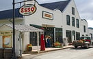
 828-963-6511
 directions
 Parking


 history
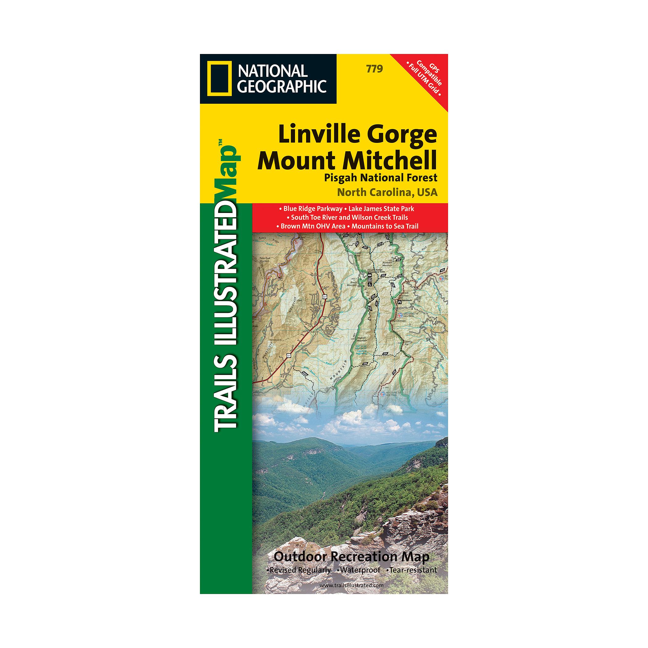
National Geographic Linville Gorge/Mount Mitchell Map
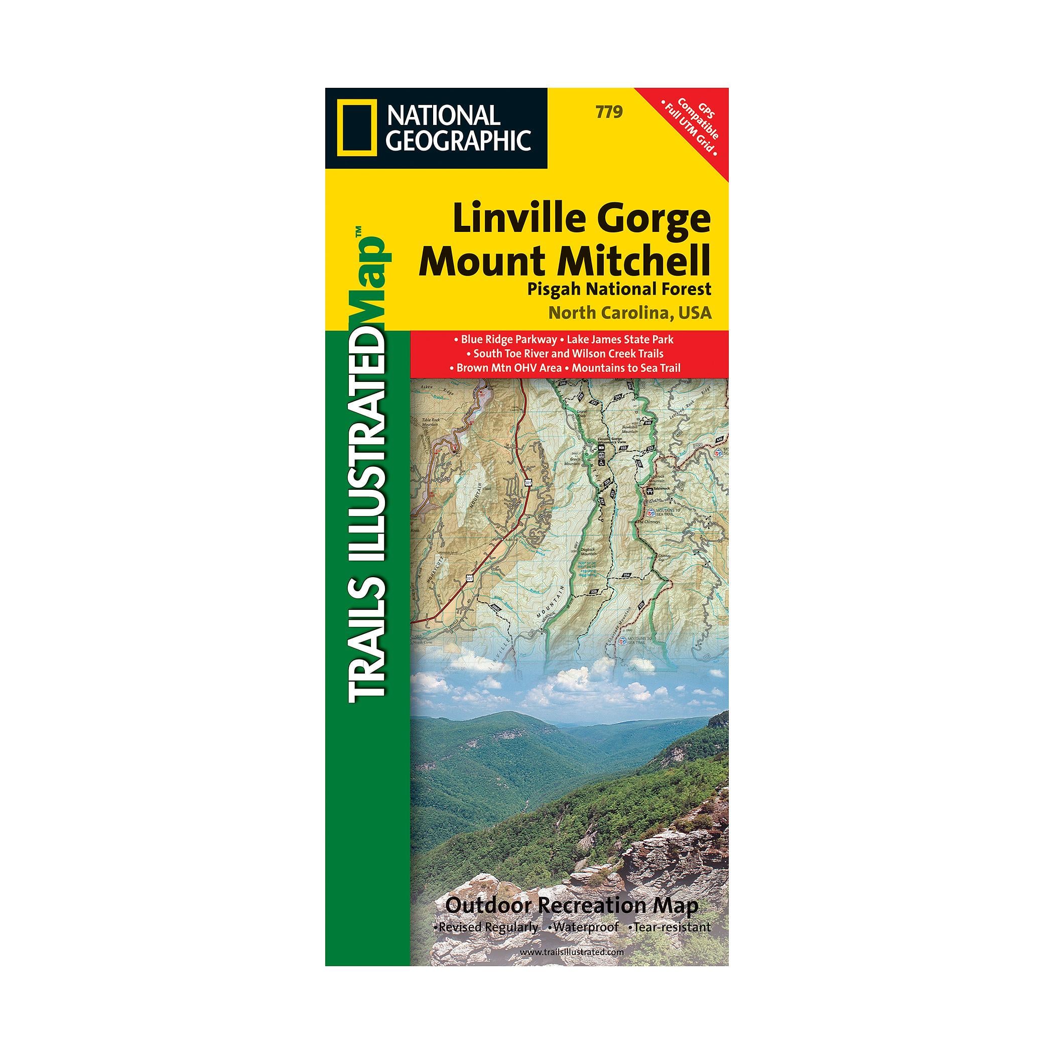
Linville Gorge and Mount Mitchell
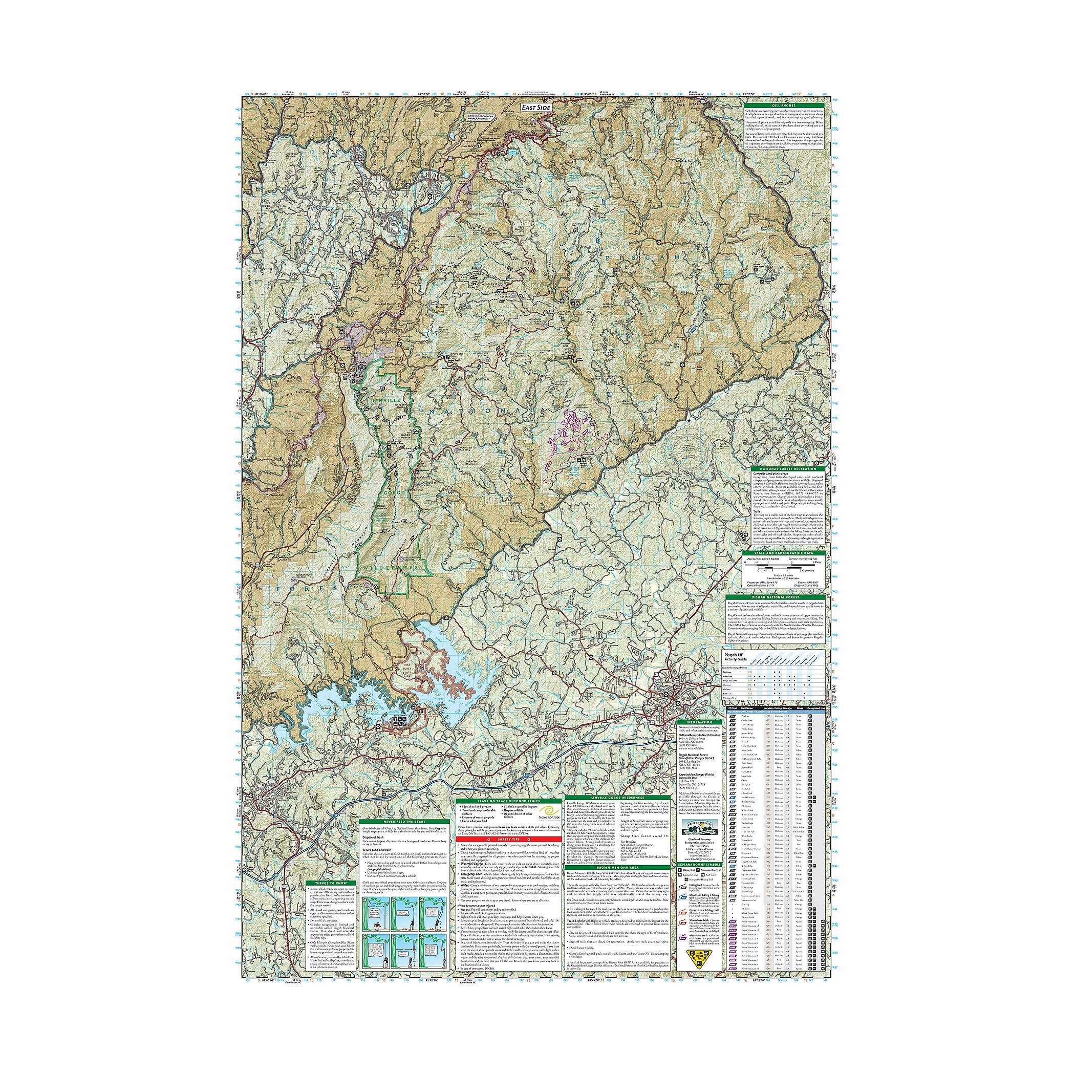
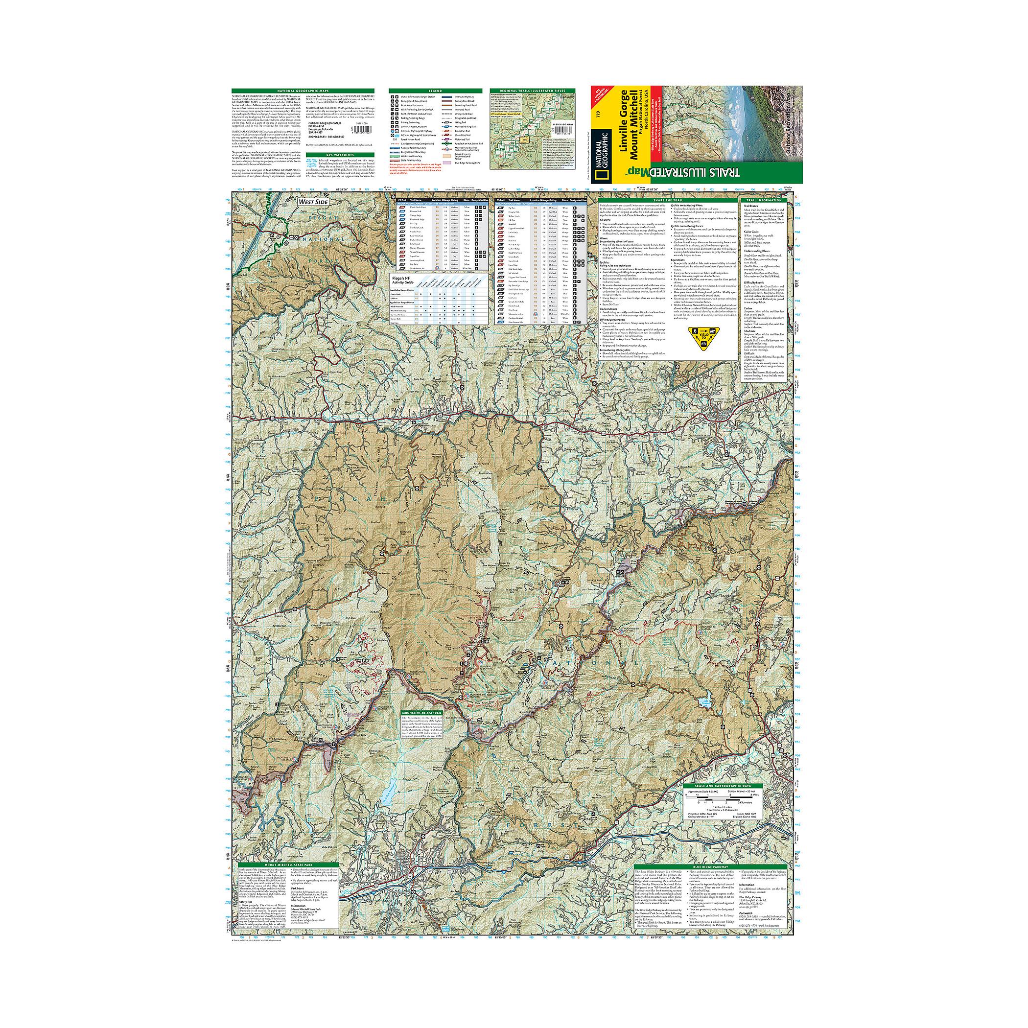
This Trails Illustrated topographic map is the most comprehensive and complete recreational map for the Linville Gorge and Mt. Mitchell area of Pisgah National Forest in North Carolina. The map shows all trails, campsites, and recreational features.
Coverage includes Pisgah National Forest, Grandfather Ranger District (complete) and Appalachian Ranger District. Towns: Black Mountain, Marion, Morganton, Linville, Burnsville. Wilderness areas: Linville Gorge. Scenic drives: Blue Ridge Parkway. Other highlights: Mount Mitchell State Park, Grandfther Mountain Biosphere Reserve, Wilson Creek Wild and Scenic River, Brown Mountain OHV Area, South Toe River, Mountains- to- Sea Trail, and Lake James State Park.
Specs
- Folded: 4.25 x 9.25 inches
- Fully open: 25.5 x 37.75 inches
- Scale: 1 : 65,000
the item is unavailable at the dimmed locations
We strive to provide the best customer service possible. When an item is shown as available in a location, we suggest calling ahead before driving to the store. Ask an associate to hold the item for your arrival to ensure its availability.
hours
mon9AM - 6PM
tue9AM - 6PM
wed9AM - 6PM
thu9AM - 6PM
fri9AM - 6PM
sat9AM - 6PM
sun11AM - 6PM
hours
mon10AM - 6PM
tue10AM - 6PM
wed10AM - 6PM
thu10AM - 6PM
fri10AM - 6PM
sat10AM - 6PM
sun11AM - 6PM
hours
mon10AM - 8PM
tue10AM - 8PM
wed10AM - 8PM
thu10AM - 8PM
fri10AM - 9PM
sat10AM - 9PM
sun11AM - 6PM
hours
mon10AM - 6PM
tue10AM - 6PM
wed10AM - 6PM
thu10AM - 6PM
fri10AM - 7PM
sat10AM - 7PM
sun11AM - 6PM
hours
mon10AM - 6PM
tue10AM - 6PM
wed10AM - 6PM
thu10AM - 6PM
fri10AM - 8PM
sat9AM - 8PM
sun11AM - 6PM
hours
mon10AM - 8PM
tue10AM - 8PM
wed10AM - 8PM
thu10AM - 8PM
fri10AM - 9PM
sat10AM - 9PM
sun11AM - 6PM
hours
mon10AM - 6PM
tue10AM - 6PM
wed10AM - 6PM
thu10AM - 6PM
fri10AM - 7PM
sat10AM - 7PM
sun11AM - 6PM
hours
mon10AM - 7PM
tue10AM - 7PM
wed10AM - 7PM
thu10AM - 7PM
fri10AM - 9PM
sat10AM - 9PM
sun11AM - 6PM
hours
mon10AM - 6PM
tue10AM - 6PM
wed10AM - 6PM
thu10AM - 6PM
fri10AM - 8PM
sat10AM - 8PM
sun11AM - 6PM
hours
mon10AM - 6PM
tue10AM - 6PM
wed10AM - 6PM
thu10AM - 6PM
fri10AM - 7PM
sat10AM - 7PM
sun11AM - 6PM
hours
mon10AM - 6PM
tue10AM - 6PM
wed10AM - 6PM
thu10AM - 6PM
fri10AM - 8PM
sat10AM - 8PM
sun11AM - 6PM