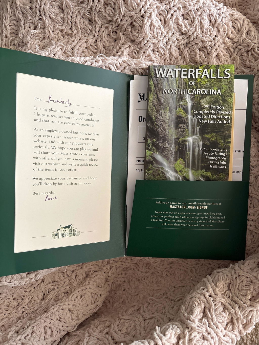
Waterfalls of North Carolina Map
SKU:#978_0_9770915_9_1
Unavailable at this store: This product is currently unavailable at your selected location. Change your location or contact customer service for more options.
Ship to me
Not available for delivery
Buy Online, Pick Up In-Store
Checking availability...
Available for pick up at
Not available for pickup at
Please select a store to see availability
Details
Details
first and only WNC Waterfalls Map
This is the first (and only) map available that features a significant number of waterfalls in western North Carolina. To create the map, Kevin Adams partnered with Larry Odoski of Outdoor Paths Publishing. They secured the best cartographers in the business, Jack Mohr and Pete Kennedy, and together the four of them devoted more than a year of painstaking work to the project. The result is a map that is as beautiful to look at as it is functional to use.
Detailed inset maps for:
- Looking Glass Rock region of Pisgah National Forest
- Wilson Creek Region of Pisgah National Forest
- Standing Indian region of Nantahala National Forest
- Snowbird Creek region of Nantahala National Forest
- DuPont State Forest
- Lake Jocassee Gorges region
- Great Smoky Mountains National Park
Specs
Specs
Waterfalls of North Carolina
- Made in USA
- Map measures approximately 26 x 38 inches and folds to 4 x 9 inches
- 100% designed, produced, and printed in the USA
- Printed on waterproof and tearproof plastic
- Over 300 waterfalls included
- Detailed information for over 125 falls
- 44 waterfall photographs
- GPS coordinates for the waterfalls
- GPS coordinates for the waterfall trailheads
- Includes waterfalls on the Tennessee side of the Smokies
- Alphabetical waterfall list available for download